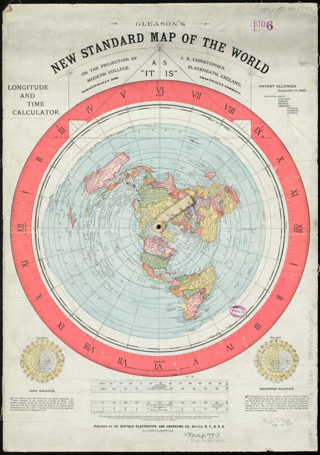
Hey WL, I've been lurking for the last couple of weeks after a LOOOONG hiatus and find this conversation to be fascinating. Does the flat earth model have a map? I mean a real map with a scale. I think that we could test the theory by using that to estimate distances between cities on the FL map with what has been measured.
Flat earthers also struggle to explain many airline flights. You see, if you look at a flat earth map, continents in the southern hemisphere are very far apart, whereas ones in the northern hemisphere are quite close. This should cause impossibly long flights in the southern hemisphere, but very short flights in the northern hemisphere.
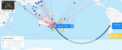
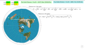
Let’s take Qantas Flight 28 that goes between Sydney Australia and Santiago Chile as an example (there are multiple others that could be used, and you can find plenty of other websites that have worked out this math for other flights). This is a non-stop flight that travels over 11,000 km and takes 14 hours and 20 minutes. That is all well and good on a round earth, but if you look at a flat earth map, the distance becomes substantially larger. In fact, it should be around 25,000 km. This is a huge problem because 747s simply cannot fly fast enough to make that flight in that time. In fact, given that 747s fly at 920 km per hour, it would take over 27 hours to make the flight!
This is the path that Flight 28 would have to take on a flat earth. It is impossibly long. There is no way to make this flight with a 747 on a flat earth.
https://thelogicofscience.com/2018/07/19/6-major-problems-with-a-flat-earth/comment-page-1/